
Shelby Township Neighbors by Block
A Shelby Township block has several public-record layers, and none is a complete resident list. The Macomb County GIS Parcel Explorer is the starting point because it establishes the parcel geometry around the address. A BS&A card can then document an owner or taxpayer field, parcel number, legal description, tax links, and building links. The Register of Deeds is the controlling place to investigate a recorded ownership instrument. The township association registry is for development organizations, not household rosters.
| Block source | What it can document | Access route |
|---|---|---|
| Macomb GIS Parcel Explorer | Parcel polygons, tax IDs, address points, roads, and adjoining parcels | Free map viewer with identify, print, and selected-data tools |
| Shelby BS&A Online | Public assessment card, owner or taxpayer display, parcel, legal, tax, and building links | Free public property search |
| Macomb Register of Deeds | Recorded instruments, grantor or grantee roles, and legal-description trail | Basic index, paid images or copies, public terminals, or request form |
| Township HOA registry | Registered HOA, condominium, and property-owner association contacts | Live alphabetical township listing |
| Library and Heritage sources | 1904 and 1944 Shelby maps, 1875, 1895, and 1916 plats, and township-history leads | Shelby Township Library or Macomb County Heritage Alliance |
For Shelby Township neighbors, distinguish a parcel owner from a current occupant. A card can show a trust, estate, business, former owner, or mailing address elsewhere. A parcel is a durable land-record fact. Occupancy is not inferred from a map, a tax card, or a deed.
Shelby Township GIS Parcel Search
Open the Macomb County GIS Parcel Explorer and search the target property by a full or partial site address. Select the correct community before interpreting the result. The official guide also permits a full or partial tax ID or Sidwell number, and its All Known Address search draws from the county E911 address database. That route can be narrowed by community and by a property name for an apartment, condominium, or mobile-home setting. For address matching, the guide advises leaving off suffixes such as RD, DR, AVE, BLVD, and CT.
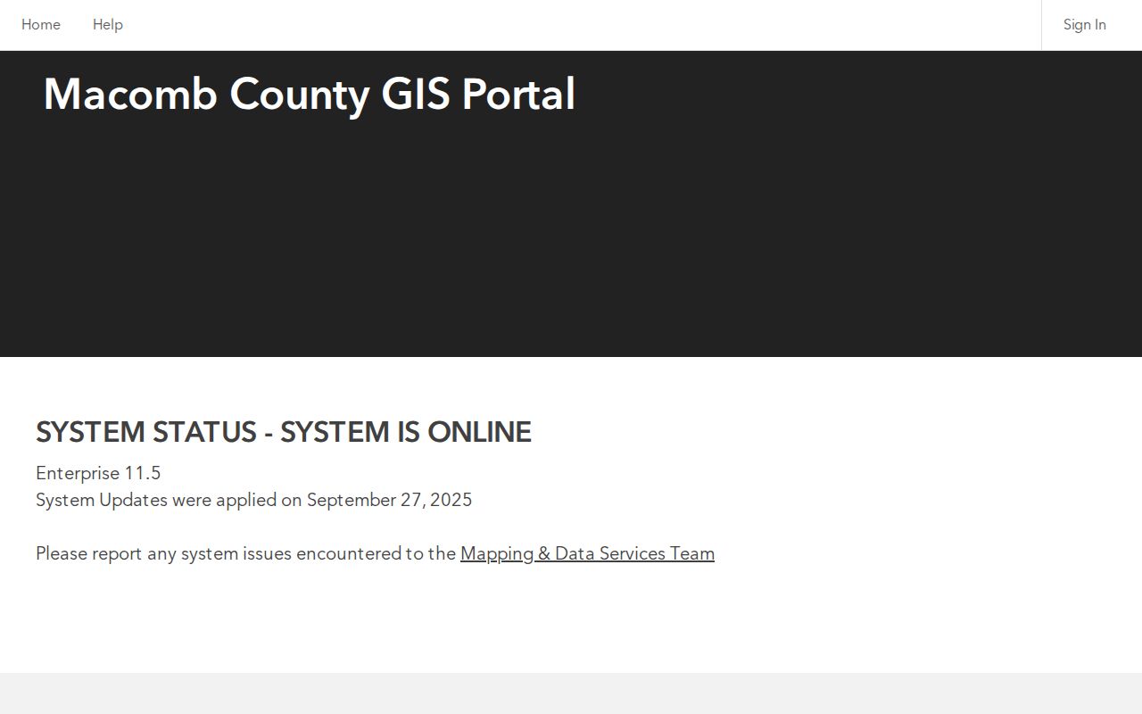
The official GIS viewer is shown below before a block is selected. It is useful because its layer controls separate parcel outlines, address points, roads, zoning, and related map themes. Turn on the layers that answer the question at hand, then use Identify on a polygon rather than treating a nearby label as proof of the correct lot.
Macomb County's GIS Parcel Explorer supplies the parcel, address, tax-ID, and layer tools used in this workflow.
Once a result is chosen, use Identify and Zoom to Selected Feature. The map should now be treated as a dated spatial reference, not a list of people.
Shelby Township Neighbor Parcel Method
The following process keeps a small block review reproducible. It begins with geometry, then opens individual public records only when they are needed. The map's selection panel can show all selections, print selected data, and export a theme to CSV where that theme permits it. Record the source date, selected parcel IDs, and map scale rather than compiling a static person list.
- Search the target address, confirm the community field, and identify the target polygon.
- Turn on parcel, address-point, and road layers, then use Zoom to Selected Feature.
- Select only parcels sharing a boundary or road frontage, and preserve their parcel IDs and site addresses.
- Open each address separately in Shelby Township BS&A Online when a public assessment card is needed.
- For an ownership question, follow the parcel or legal description to the Macomb County Register of Deeds.
BS&A offers All Records, Assessing, Building Department, Special Assessment, and Tax categories. Its address mode includes a street-number range, while its parcel card may link to sale, tax, building, and map details. That is useful for a defined record trail, but still does not establish who lives there. For a whole named street rather than the immediate block, use the Shelby Township street directory walkthrough.
Shelby Township Neighbor Associations
When an address is inside a planned neighborhood, the township's homeowners association registry can answer an organizational question the parcel card cannot: which registered association says it serves that development? Representatives register and submit annual updates, and the township calls the registry a link between residents and neighborhood organizations. Read the current alphabetical listing before relying on a contact, because the inspected source did not state a complete count.
| Association example | Registry category | How to use the listing |
|---|---|---|
| Watkins Lake Association | Neighborhood association | Confirm its current representative and update status in the live listing |
| Whispering Hill Homeowner Association | Homeowner association | Compare the listed development name with GIS subdivision context |
| Willow Creek Estates | Property-owner or neighborhood organization | Use the public association contact only for the organization |
| Windmill Pond II Condominium Association | Condominium association | Check master parcel and unit address points separately in GIS |
An association address may be a management-company address outside Shelby Township. That is an association-contact fact, not proof that the development is elsewhere. The registry is not a roster, so do not turn it into one.
Shelby Township Neighbor Tools Compared
Official records and commercial neighbor-search categories serve different purposes. An official map, assessment card, or recorded instrument identifies a dated government record and its custodian. Commercial services may combine public and other data, but their coverage, updates, and matching methods can be unclear. For a property or civic question, begin with the public source that created the record and verify any material result with that office.
| Source category | Best use | Important limit |
|---|---|---|
| Official map and property records | Parcel, address, owner or taxpayer label, legal description, and source date | They do not prove current occupancy |
| Recorded land records | Documented party roles and property-transfer history | Indexing can be incomplete; an image or certified copy may be needed |
| Commercial people-search category | A lead to independently check | May be stale, mismatched, incomplete, or unable to show record provenance |
Macomb's Register of Deeds notes that recorded documents can appear before indexing is fully verified. Preserve the document number, recording date, instrument type, and legal description when moving from an index result to a land-record conclusion.
Shelby Township Block Map Context
Road and zoning layers help explain a block's shape, but they are orientation tools. Shelby's association information says surface roads are under the Macomb County Department of Roads, while private-road associations are responsible for their own repairs. A road drawn in GIS can therefore lead to county maintenance records, association records, or both. Use the association name or development name for that limited question, not as a substitute for property records.
The Shelby Township zoning-map page links township and county GIS resources. A district, overlay, right-of-way, drainage feature, or public facility can explain why adjoining parcels look different. The township states that the Zoning Board of Appeals is the authorized body for official interpretation of the zoning map and text. Ask Planning and Zoning or the ZBA for that interpretation rather than treating an on-screen layer as a ruling.
Shelby Township Neighbor Map History
Historical maps can show why a modern block does not resemble an older address description. The Shelby Township Library and the Macomb County Heritage Alliance identify Shelby maps from 1904 and 1944, along with township rolls from 1875 to 1920. County plats from 1875, 1895, and 1916 offer tract, road, and subdivision context. The Mount Clemens Public Library is the county genealogy route when a map, local index, or directory lead needs staff or microfilm access.
For that library route, the Mount Clemens Public Library Local History and Genealogy Room describes its local indexes, microfilm, and reference collection. A historical directory address or map label is a dated clue, not proof that a parcel or household remained the same. Save the volume, page, map year, and holding institution with any note. When an older source cannot be searched online, ask the library or Heritage Alliance about the relevant collection instead of assuming that the absence of an online result means the material does not exist.
Compare an old road or farm tract to the current legal description and parcel shape. Do not match it merely by visual proximity. The Register of Deeds supplies the legal transfer trail, while a historic map provides dated context. A building-permit date may explain a structure, but it does not identify a household.
Shelby Township Neighbor Privacy Limits
Keep the record boundary clear. Address fields may be protected, a current occupant may not be publicly indexed, and Michigan's Safe at Home Address Confidentiality Program can use a substitute address for eligible people facing harm. Michigan voter-file rules also require redaction of sensitive fields, and a personalized voter lookup is for a person's own registration information. Do not try to overcome a missing address by combining unrelated sources.
Michigan Freedom of Information Act requests under MCL 15.231 et seq. seek existing public records from the correct custodian. They do not require an agency to create a block roster. When a record is absent, note the gap, retain the source date, and ask the relevant office about its process rather than filling the gap with an assumption.
Lawful use. Use Shelby Township neighbor records for personal, family-history, property, or civic questions. Do not use any source to watch, stalk, harass, intimidate, or harm another person.