
Trace a Shelby Township Street by Address
A reliable address search has a fixed order. First, use USPS when a street line needs a standard delivery form. Next, run the Shelby BS&A address search and save the returned parcel number or other result identifier. Use that number, the street input, and the community field in Macomb GIS. The map provides the parcel geometry and related layers. Then take the legal description or parties to the Register of Deeds, which is the source for recorded instruments. Each move changes the question from delivery address, to assessment record, to map location, to land-record history.
Work a short, defined part of a street. The BS&A range option supports a controlled series of numbers, but it does not justify filling gaps with guesses. Record the raw street input, USPS form if returned, parcel or Sidwell number, GIS community, legal description, deed hit, and date. The same street can use a postal city label that differs from the township name, so preserve both rather than silently replacing one with the other.
- Use USPS By Address to standardize the street input.
- Search the address or number range in Shelby Township BS&A.
- Open the parcel in Macomb GIS and confirm its community and layers.
- Search the current and prior deed parties in the Macomb Register of Deeds.
- Use a historical map or directory only as a dated follow-up source.
Search Shelby Township Streets in BS&A
The public Shelby BS&A selector has separate choices for All Records, Assessing, Building Department, Special Assessment, and Tax. Its address method includes a street address and street-number range, and the portal also accepts a name, parcel number, or Building Department Record Number. For an address-record task, the address and range methods are the most direct ways to see which public property cards correspond to the selected inputs. Public searching does not require an account, even though account controls are displayed.
A returned assessment card can hold a site address, owner or taxpayer display, mailing address, parcel number, legal description, taxing information, values, sale data, current tax, building links, and special-assessment links. These fields have different meanings. A taxpayer mailing line may be outside Shelby Township. An owner line can represent a trust, estate, business, or prior transfer. A sale line is not an occupancy finding. Record the label exactly instead of changing it into a person list.
| BS&A field | Street-directory use | Important limit |
|---|---|---|
| Street address or range | Find public cards for a controlled set of numbers | Do not infer a missing address. |
| Parcel number | Carry one property record into GIS and deeds | Parcel history may change over time. |
| Owner or taxpayer | Identify the label on the assessment card | Not proof of occupancy. |
| Building record number | Connect an address to a permit record | Applicant or work facts have separate meanings. |
The Shelby Township BS&A search is the official entry point for this step.
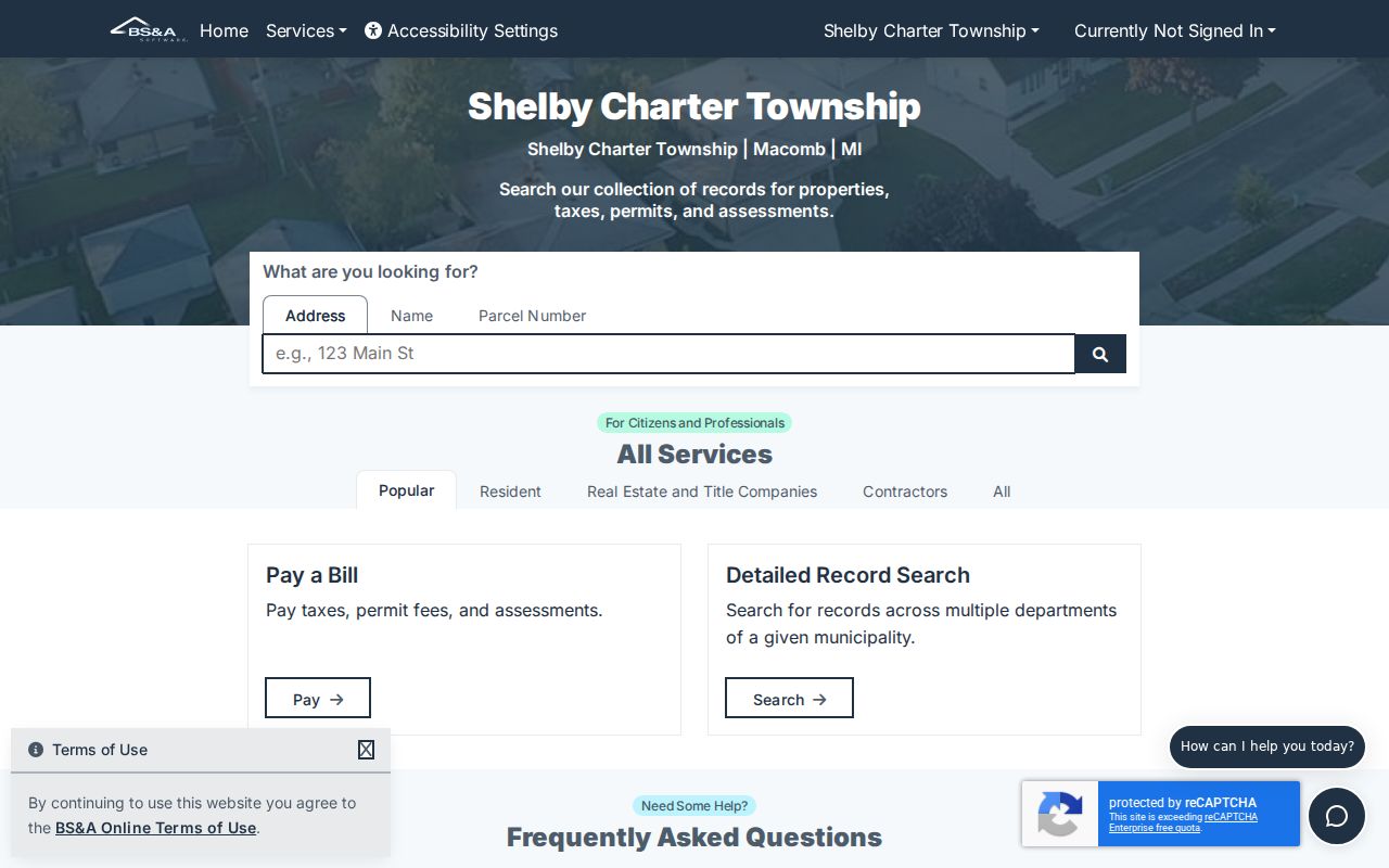
Save the parcel result before moving on. It makes a street-directory result traceable to the source record instead of an unsupported name-and-address association.
Map Shelby Township Streets in Macomb GIS
Macomb GIS supplies the map check that a street directory needs. Its guide documents property-address search, intersection search, full or partial Sidwell tax-ID search, and an All Known Address search using the county E911 address database. For a standard property-address query, omit suffixes such as RD, DR, AVE, BLVD, and CT. All Known Address can filter by community and a property name, which is useful when a unit, condominium, or mobile-home community has an address variant.
After a result is located, turn on the parcel, address, and road layers. Identify opens a layer selector and returns selected attributes when a polygon is clicked. The selection panel can show all selections, zoom to a result, print, and export a theme to CSV where the tool enables it. A parcel polygon is land geometry and an address point is a separate reference layer. Compare both, then date the result.
The Macomb County GIS Parcel Explorer shows the public map and layer route.
For a street directory note, retain the map date, selected parcel IDs, layer names, and community field. That evidence is more durable than a copied block list.
Shelby Township Street Directory Record Types
Address-keyed sources show different pieces of a street. The assessor card is the current property link. GIS supplies location and parcel context. The deed index records a land instrument and named parties. Building records can document work at a location. Historical rolls, maps, and directories can add a dated layer. No one of these sources is a complete street directory of residents, and the table below keeps their roles distinct.
| Address record | Custodian | What the record can show | Access channel |
|---|---|---|---|
| BS&A assessment card | Shelby Township Assessing | Owner or taxpayer label, parcel, taxes, sale and building links | Free public portal |
| GIS parcel viewer | Macomb County GIS | Parcel polygon, tax ID, address point, road and zoning layers | Free viewer, print or export tools |
| Recorded instrument | Macomb Register of Deeds | Grantor, grantee, date, type, legal description | Basic index, advanced search, terminal, copy request |
| Building or special-assessment record | Shelby portals | Address-linked work, tax, or assessment information | Public search or office follow-up |
| Historic roll, map, or directory | Archives, library, Heritage Alliance | Dated land, road, or address context | Catalog, onsite, microfilm, or request route |
The parcel number and legal description are the strongest bridge between the present property card and older land records. A street name alone may be shared, revised, or formatted differently across systems.
Macomb Deeds Along a Shelby Street
Use the Register of Deeds for a recorded chain, not for a guessed occupancy trail. Begin with the current or known party as a grantee. Find the earlier instrument, then search the earlier party as grantor. Preserve document number, recording date, type, grantor, grantee, legal description, parcel or liber and page, plus whether an image is available. A warranty deed, quitclaim deed, land contract, mortgage, discharge, assignment, lien, and sheriff’s deed each record a different action.
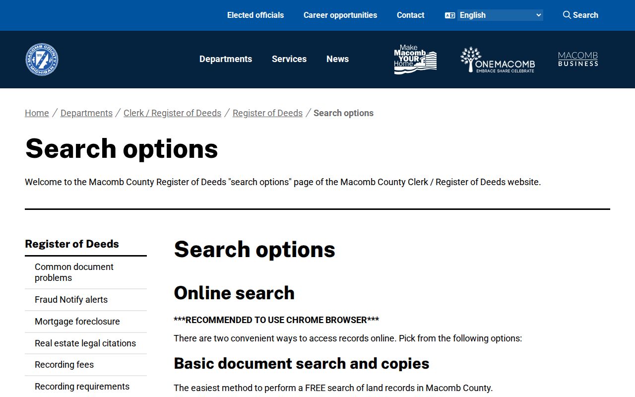
The basic index is free. Images cost $6 by card, while advanced searching has 24-hour, one-week, and one-month subscription routes plus document charges. The paper search form offers mail or in-person handling: it lists a $5 search, $1 first page or copy per page, and $5 certification per document, with no refunds. If the online address or parcel field fails, try party names, the legal description, a public terminal, or the form. The county says records may be searchable by grantor or grantee before indexing is fully verified.
The Macomb Register of Deeds search-options page describes public-terminal, index, copy, subscription, and staff-search choices.
Do not call every deed party an occupant. A mortgage does not prove occupancy, and a discharge says a secured instrument was released, not that the property changed hands.
Shelby Township Street Mailing Geography
A street directory needs both postal and local-government context. USPS standardizes delivery lines. Shelby Township property and map records establish the parcel’s township and county setting. A street can cross a boundary or use a postal-city label such as Utica. The ZIP alone does not prove that the location sits within township limits. Carry the USPS result and the GIS community field together when a record is being compared across systems.
The Michigan material identifies 48315, 48316, and 48317 as Shelby-area delivery zones. Use the USPS address tool for the actual assignment, then return to BS&A and GIS for parcel work. The formal government name, Charter Township of Shelby, also helps avoid confusing township records with county-seat offices in Mount Clemens.
Shelby Township Permits and Zoning Context
Building and map layers can explain changes at an address without identifying residents. BS&A includes a Building Department route and Building Department Record Number search. A public building record can carry permit type, application status, inspection or result, and date fields when displayed. Macomb Accela also has dynamic public-works and health fields for site address, street number, street name, unit, parcel, city, state, ZIP, and date criteria, but the inspected portal returned errors. Treat it as a supplemental route and confirm whether a record is in scope.
Zoning, overlays, rights-of-way, and map layers add orientation for a street. The township zoning page directs users to township and Macomb GIS tools, but the Zoning Board of Appeals is the local body authorized to give an official map or text interpretation. Present a layer as a reference, not a legal conclusion. A permit date may explain a building change, while it says nothing certain about who lived there.
Historic Shelby Township Street Evidence
Street-directory research becomes historical when a modern address stops resolving. Archives of Michigan identifies Shelby assessment rolls for 1840 through 1864. The Heritage Alliance points to township rolls from 1875 through 1920, Shelby maps from 1904 and 1944, and county plats from 1875, 1895, and 1916. The Mount Clemens City Directory Master Index runs from 1896 through 1966. These collections do not form one uninterrupted address file, but they give dated checkpoints for a tract, road, or household.
Use the legal description to bridge a changed street number, split parcel, or different road spelling. A directory address is a publication-year clue. A tax assessment may label an owner, occupant, taxpayer, or agent depending on the original form. Contact the holding library or archive for volume, page, microfilm, or reproduction access rather than assuming the index supplies the complete record. No official comprehensive Shelby street-renumbering crosswalk was located.
Limits of a Shelby Township Street Directory
The public street record trail is about parcels, instruments, maps, and defined record fields. It cannot reliably identify everyone associated with an address. Private contact details, protected information, motor-vehicle personal data, and some court or vital records are restricted. An address may also be intentionally unavailable because of Michigan Safe at Home, statutory redaction, incomplete indexing, or a property held through a trust, estate, or business.
That limit protects the quality of the research as well as people. Label a result as an assessment field, recorded instrument, map selection, or historical entry. A missing match should remain “not located in this source” until the custodian’s alternate channel has been checked.
Request a Shelby Township Street Record
When the portal does not provide the needed record, use the custodian’s stated alternative. The Register of Deeds accepts its real-estate search form by mail or in person and needs the strongest available identifiers. The library and Heritage Alliance routes can identify maps, rolls, directories, and microfilm to consult or request. A public-record request under Michigan Freedom of Information Act, MCL 15.231 et seq., should name the public body, existing record series, address or parcel, date range, requested format, and willingness to pay authorized fees.
A Michigan FOIA request does not require an agency to create a new street roster. Ask for a defined record it already maintains. The usual response window is five business days, with a possible written extension of ten additional business days. If a response is redacted or denied, keep the written explanation and cited exemption rather than filling the gap with an inference.